


See what's new on the Big Map: 2025 United Airlines New York City Half Marathon; Domino Park in Williamsburg, Brooklyn; Hunter Island in Pelham Bay Park; Copán in Honduras; San Salvador's Iglesia El Rosario and Jardín Botánico La Laguna, Parque Nacional El Boquerón, Volcán de Santa Ana/Santa Ana Volcano and Suchitoto in El Salvador; Little Corona del Mar Beach in Orange County, California
Follow Bridge and Tunnel Club: @batclub
Inquire within about supporting the Big Map or acquiring Big Map images!
Links
forgotten-ny.com's
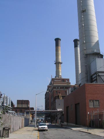
Vinegar Hill Page
"Could Bridge Park Expand Into Current Power Plant Site," Brooklyn Eagle, August 12, 2011
Back to Vinegar Hill Main Page

Sections
The Bronx
Brooklyn
Manhattan
Queens
Staten Island
Citywide
Out Of Town
What Is The Big Map?
Big Map Blog
+ RSS Feed